|
|
||||||||||||
|
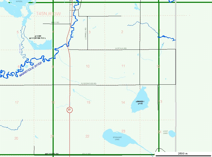
© Michigan Department of Natural Resources
Resource Mapping and Aerial Photography Created with ImageMapper 3.0 by alta4. |
|
|
||||||||||||
|
© Michigan Department of Natural Resources
Resource Mapping and Aerial Photography Created with ImageMapper 3.0 by alta4. |